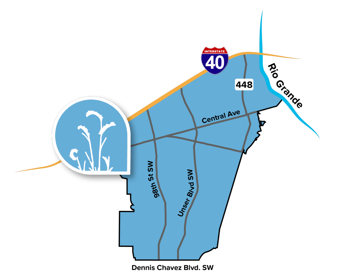
Stretching between I-40 to the north and Dennis Chavez Boulevard to the south and between the city limit to the west and Coors Boulevard to the east, the Southwest Mesa Community Planning Area (CPA) encompasses many distinct neighborhoods throughout the South Valley. The Southwest Mesa has rural areas near the South Valley and Rio Grande as well as old and new subdivisions toward the west. It also includes a stretch of Historic Route 66 where some of Albuquerque's most active lowrider clubs cruise on a weekly basis.
The Southwest Mesa is also home to some of the oldest families in Albuquerque, who are very proud of their cultural heritage. The region's rich history and cultural traditions find expression in place names and in past settlements- first by Pueblo Indians, then by the Spanish and Mexican people. The pattern of land use and settlement found today began with the land grant communities established during the 1690s and early 1700s following the reconquest of New Mexico by the Spanish.