The East Gateway Community Planning Area (CPA) is one of the Albuquerque’s entrances into the city along I-40. East Gateway spans the area between Wyoming Boulevard and the City’s eastern boundary and between I-40 and Kirtland Air Force Base. Historic Route 66, also known as Central Avenue, transects East Gateway. This area features mid-century architecture commonly found along this historic highway. East Gateway’s 3 registered historic buildings are along Central Avenue - Luna Lodge, Enchanted Mesa Trading Post, and La Puerta Motor Lodge.
East Gateway is home to distinct neighborhoods, such as Four Hills, Juan Tabo Hills, Singing Arrow, and South Los Altos. These neighborhoods developed in various decades, spanning from the 1950s to present. They include single-family subdivisions, manufactured home communities, and some apartment complexes.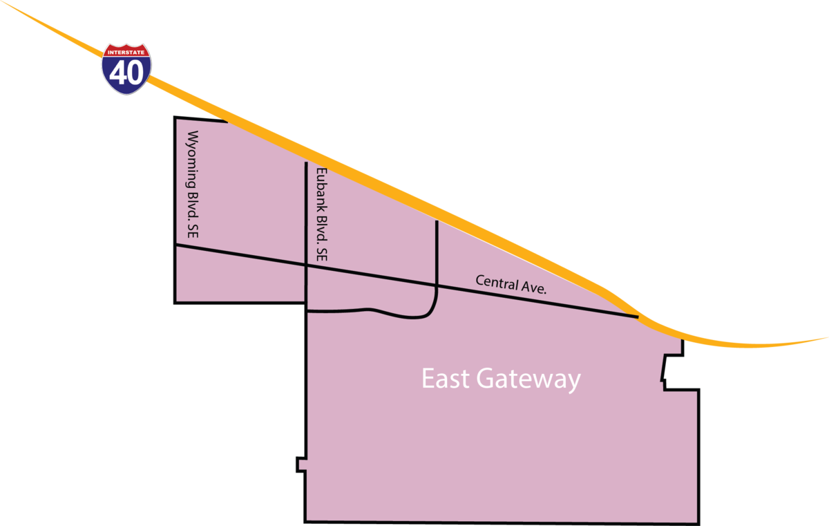
East Gateway has various City facilities, including community centers and parks like Manzano Mesa and Singing Arrow. The Manzano Mesa Pickleball Complex is one of two City-owned pickleball facilities in Albuquerque, and East Gateway also houses the Los Altos Golf Course and Banquet Facility. The City’s Eastside Animal Shelter is located in the northwest corner of East Gateway.
The topography in East Gateway is characterized by the Sandia and Manzano foothills, as well as the Tijeras Arroyo. Located at the end of Juan Tabo, the Tijeras Arroyo Open Space holds ecological significance as a main waterway for snow melt and rain flows and housing a diversity of wildlife, as well as providing recreational opportunities, such as hiking and bird-watching.