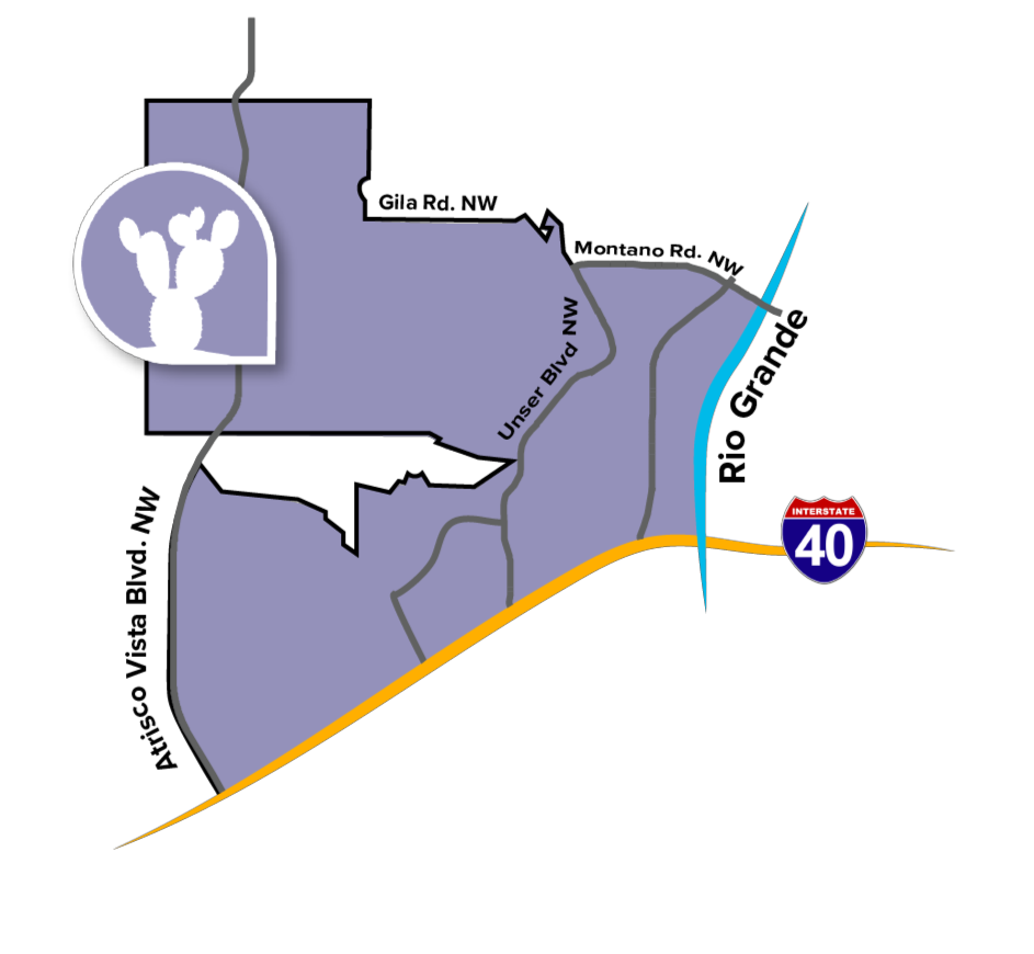
 The West Mesa Community Planning Area (CPA) boasts impressive views of the city, the Sandia Mountains, and the Bosque from atop the mesa on Albuquerque’s West Side. The CPA spans the area west of the Rio Grande to the city’s western edge and along Atrisco Vista Boulevard between I-25 and Montaño and Gila Roads.
Development in the West Mesa CPA is primarily east of the volcanic escarpment, with large portions of vacant land to the west. West Mesa is made up of many single-family residential subdivisions that were developed over the past several decades. The area’s suburban characteristics include wide streets, large setbacks, and shopping centers with large parking lots. Many of West Mesa’s commercial businesses are located along Coors Boulevard. The Coors corridor connects this CPA to the Northwest Mesa CPA and Southwest Mesa CPA. The City-owned Double Eagle II Airport is located in the western portion of the CPA.
The topography of the West Mesa CPA is primarily characterized by the Petroglyph National Monument and its escarpment, canyons, and volcanoes. This includes an extensive network of outdoor recreation area, including multiple trailheads along the escarpment. The West Mesa also has access to the west side of the Rio Grande, including trails in the Bosque near Montaño Road.