Spanning the area between Montgomery Boulevard to I-40 on the south and I-25 to Eubank Boulevard on the east, the Mid Heights Community Planning Area (CPA) includes one of the city's two urban centers, Uptown, as well as regional shopping and employment centers along I-25 to the west and I-40 to the south. Surrounding the Uptown urban center are suburban neighborhoods developed on former rangeland during the 1950s, many associated with the University of New Mexico's state land grant. 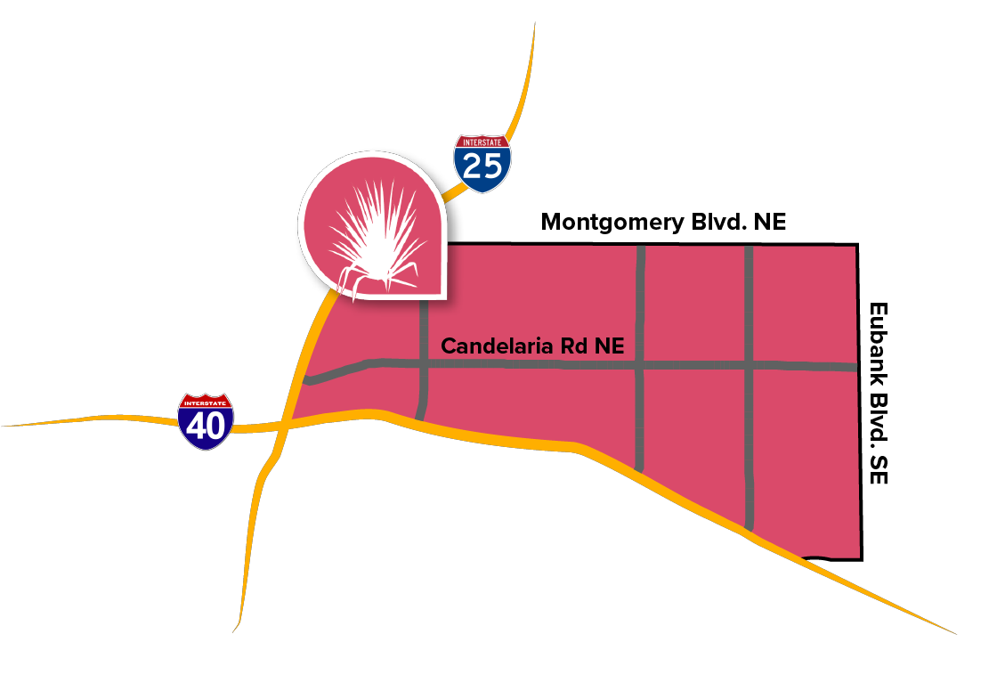
Schools and parks are regularly interspersed throughout the area, some connected by major arroyos that form linear parks with multi-use trails. Major roads are lined with retail and commercial businesses. Many residents enjoy views of the Sandia Mountains to the east, particularly along east-west streets.
Uptown is very walkable and well-connected to transit. The Albuquerque Rapid Transit (ART) line connects Central Avenue to the heart of Uptown via Louisiana Boulevard.