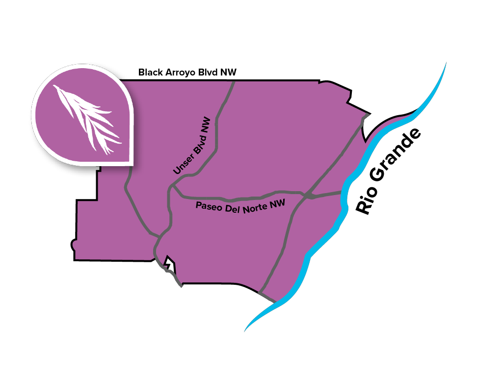
 The Northwest Mesa Community Planning Area (CPA) boasts impressive views of the city, the Rio Grande, and the Sandia Mountains from atop the mesa in the Albuquerque’s far northwest corner. The CPA spans the area west of the Rio Grande to city’s western edge and between Montaño and Gila Roads and the Bernalillo/Sandoval County line to the north.
The Northwest Mesa CPA is made up of many single-family residential subdivisions that were developed over the past several decades. The area’s suburban characteristics include wide streets, large setbacks, and shopping centers with large parking lots. Much of Northwest Mesa’s commercial businesses are along Coors Boulevard, including Cottonwood Mall. The Coors corridor connects Albuquerque to nearby Rio Rancho and Corrales. Development continues on the vacant land in Northwest Mesa, especially in the western portion of the CPA.
The topography in the Northwest Mesa CPA is primarily characterized by the Petroglyph National Monument, specifically its canyons. Boca Negra Canyon and Piedras Marcadas Canyon cut through the middle of the Northwest Mesa and provide residents with close access to recreation and open space. This CPA also has access to open space west of the Rio Grande via the area’s many trails throughout the Bosque.