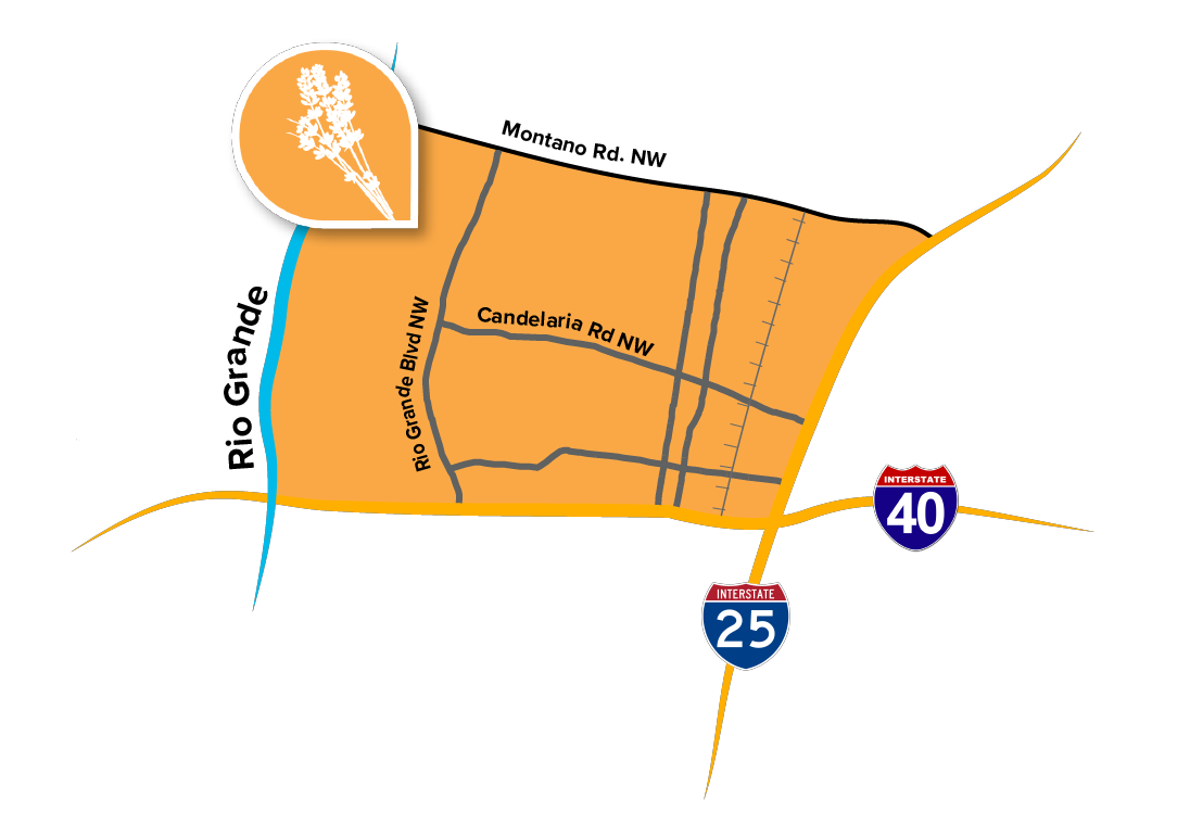
 The Near North Valley Community Planning Area (CPA) spans the area between the Rio Grande and I-25 and between I-40 and Montano. Near North Valley remains semi-rural and rich in history and tradition as agricultural land and open space in the west blends into residential neighborhoods to the east. Many of these communities have roots in farms and ranches that were established in the 18th-century although Indigenous people had been irrigating the area for centuries before. The intricate acequia system that sustained these enterprises are still evident in the landscape today. Distinctive neighborhoods that continue cultural traditions, like community groups clearing the irrigation ditches every spring, are the heart of the Near North Valley CPA.
Near North Valley’s topography is characterized by the Rio Grande and Bosque. The area includes a network of trails throughout the Rio Grande Valley State Park and the Candelaria Nature Preserve along the east side of the river, which include the Paseo del Bosque Trail. The Middle Rio Grande Conservancy District was established nearly a century ago and continues to maintain and rehabilitate infrastructure around the river to the benefit of agriculture, recreation, and the natural environment.
Further east, commercial and retail services line the 4th Street corridor, the original Historic Route 66, which runs the entire north-south length of the CPA. This corridor has historically provided services for locals and unique experiences for visitors. The Indian Pueblo Cultural Center is located on 12th Street at the site of the former Albuquerque Indian School. The cultural center and the nearby businesses that are also owned and operated by the 19 Pueblos of New Mexico preserve and perpetuate the foundational culture of the region.
Large commercial and industrial development is concentrated to the south along I-40 and to the east along I-25.