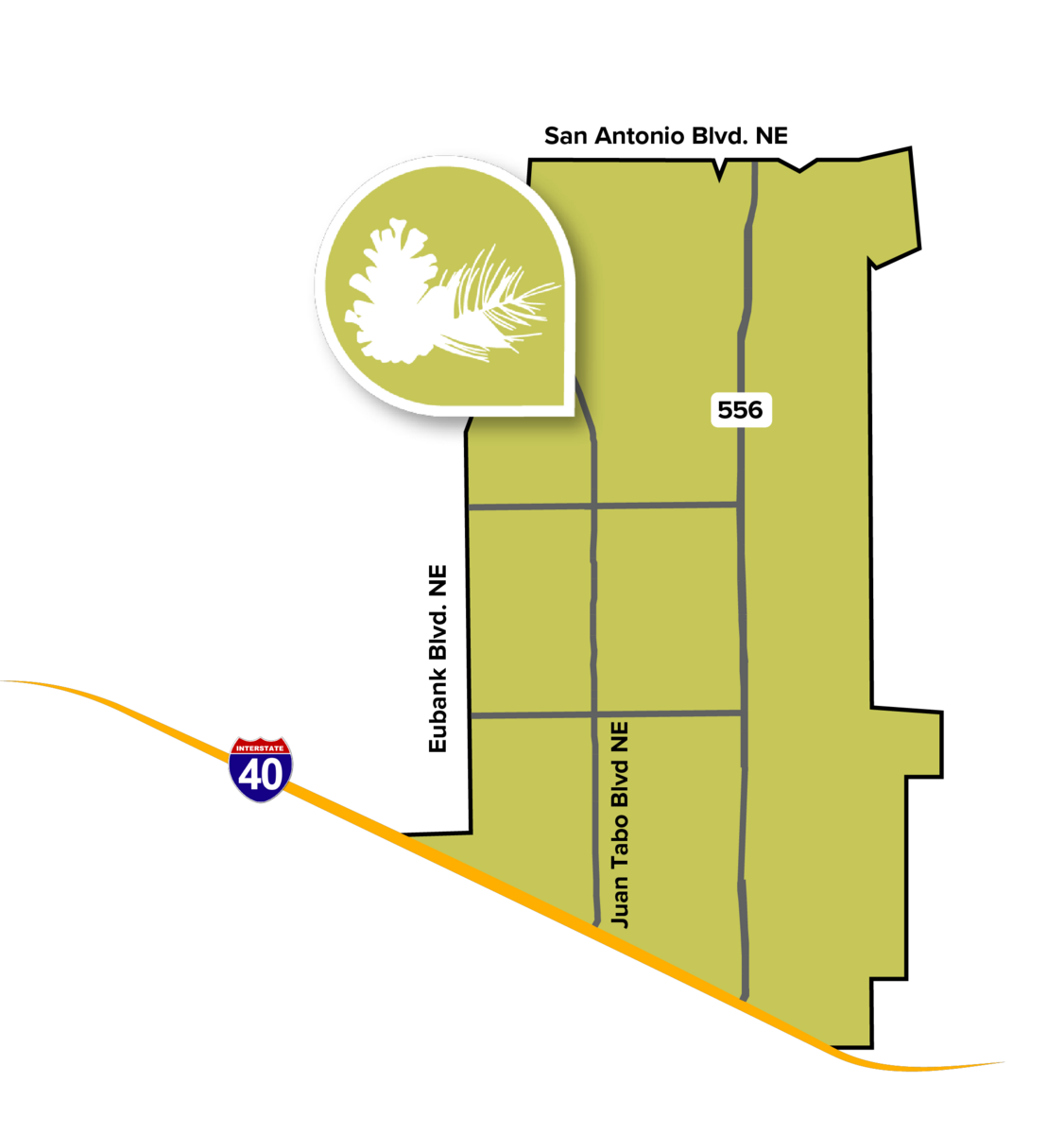
 Sitting at the base of the Sandia Mountains, the Foothills Community Planning Area (CPA) boasts impressive views of Albuquerque to the west. The Foothills CPA spans the area between Eubank Boulevard and the city’s eastern boundary and between I-40 and the city’s northern boundary. Tramway Boulevard, which transects the Foothills CPA, connects the eastern edge of the city to both I-40 and I-25.
The Foothills CPA is characterized by multiple residential subdivisions. Development of these neighborhoods began during the mid-20th century and continued in the decades following. Corridors such as Juan Tabo and Eubank house much of the commercial activity in the Foothills CPA. There are many parks throughout Foothills, including larger parks like Los Altos as well as many smaller, neighborhood-serving parks original to older subdivisions.
The topography in the Foothills CPA is primarily characterized by the Sandia foothills, which include vast amounts of open space and arroyos extending from the foothills. These areas include an extensive network of trails in Open Space areas such as Bear Canyon and Foothills. Some of the trails in the Foothills Open Space continue beyond the city’s eastern boundary into the Cibola National Forest. A portion of the City’s 50 Mile Activity Loop along Tramway and Indian School also runs through the Foothills CPA.