Sitting atop Albuquerque’s southeast mesa, the Mesa del Sol Community Planning Area (CPA) houses much of the city’s newest development. The Mesa del Sol CPA encompasses an area bounded by the Sunport to the north, Kirtland Air Force Base to the east, Isleta Pueblo to the south, and parts of Broadway and University Boulevards to the west. University Boulevard is a primary route through the Mesa del Sol CPA, and there are future plans for a new I-25 interchange to serve this area.
Most of the CPA includes the 12,900-acre planned community of the same name. The planned community, guided by fra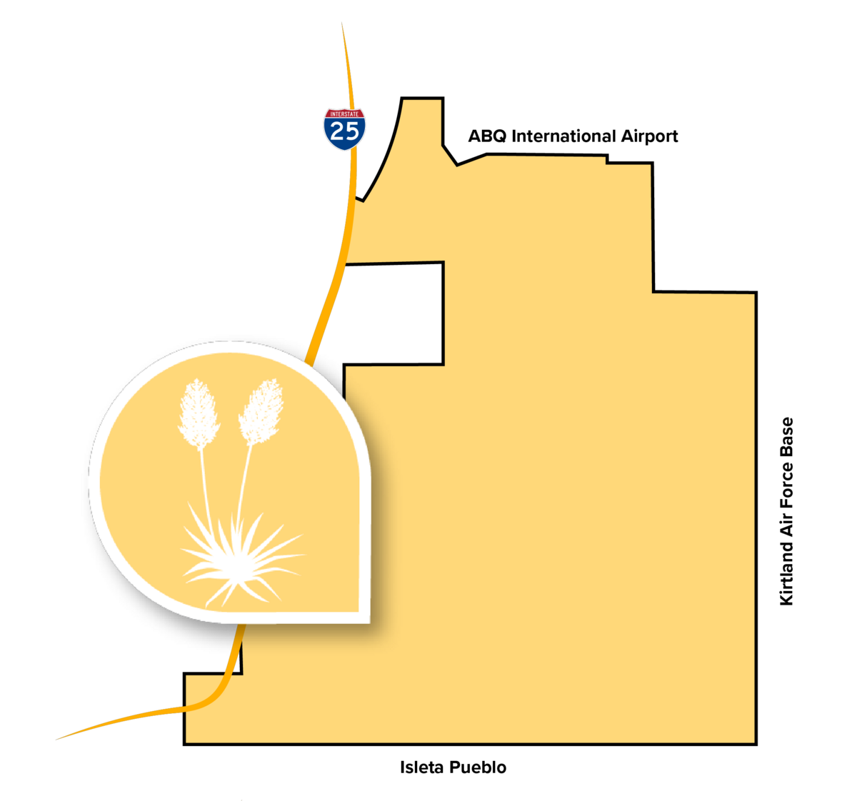 mework plans, is set to be developed over the next several decades. This planned community is growing slowly because of a commitment to provide jobs before developing extensive amounts of housing. With a focus on walkability, access to open space, and balanced density, the Mesa del Sol planned community currently includes some residential development, a 1.4-acre park, a charter school, and commercial uses, including Netflix. Future development will include more parks, a trail network, and public schools, in addition to more residential and commercial uses. The Mesa del Sol plans also propose to designate hundreds of acres as open space, including La Semilla, which is on the eastern edge of the CPA.
In addition to the planned community, the CPA also includes City facilities at Montessa Park, including a dog park, convenience center, and disc golf course. The Tijeras Arroyo, which originates to the east in Tijeras Canyon, transects the northern portion of the CPA.